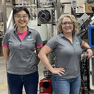
 “These groups pulled together data and layered it into accessible tools, increasing the potential for seeing the bigger picture,” said Heacock. (Photo courtesy of Steve McCaw)
Scientists funded by the NIEHS Superfund Research Program (SRP) developed online tools to inform local communities about potential environmental health risks. The researchers hail from the University of California at Berkeley (UCB) and Texas A&M University (TAMU).
“SRP prioritizes getting research out in a way that it can be used effectively,” said NIEHS Health Science Administrator Michelle Heacock, Ph.D., who oversees the grant recipients’ efforts. “These projects make the power of big data available to the public.”
Helping disadvantaged communities
At the TAMU Superfund Research Center, scientists created the HGBEnviroScreen. HGB stands for the eight-county Gulf Coast region of Houston-Galveston-Brazoria. Community groups may use the tool to better understand how environmental and socioeconomic factors can combine to increase susceptibility to health problems, particularly among disadvantaged residents.
“Communities don't have good access to environmental quality data, even if it's technically available to the public,” said Weihsueh Chiu, Ph.D., a TAMU professor who led the initiative. His team worked with researchers from North Carolina State University and the Environmental Defense Fund. “This tool can help residents obtain information to support requests to their municipalities for better services and to work with local businesses to reduce exposures.”
HGBEnviroScreen draws data from 1,090 census areas in the region and sources such as the U.S. Environmental Protection Agency. The information is placed in one of five categories.
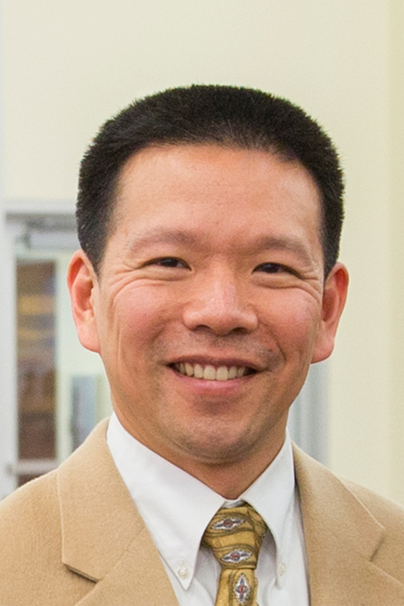 “HGBEnviroScreen can help local authorities focus in on weaker areas to mitigate threats,” said Chiu. (Photo courtesy of Weihsueh Chiu)
- Social vulnerability — socioeconomic position, disability, minority status, and food access.
- Baseline health — prevalence of coronary heart disease, stroke, childhood asthma, and chronic obstructive pulmonary disease.
- Environmental exposures and risks — toxic releases from nearby facilities and particulate matter air pollution concentrations.
- Pollution sources — how many potential sources of pollution are near a given area.
- Flooding — frequency and severity of flooding, as well as the percentage of households filing related insurance claims.
The online platform integrates such data into a comprehensive map, helping local residents interpret the information and identify potential health vulnerabilities. Users can click on a given census area and see how their vulnerability breaks down into different categories.
What’s in the water?
SRP-funded scientists at UCB launched the Drinking Water Tool in collaboration with the Community Water Center of Visalia, California. The interactive website helps people in the state identify areas where water quality may be of concern.
“I do not know of another project that attempts to integrate groundwater quality data with drinking water source information from domestic wells and public systems into an online tool that is easily accessible to residents and decisionmakers at a statewide level,” said Rachel Morello-Frosch, Ph.D. She heads the Water Equity Science Shop at the Berkeley SRP.
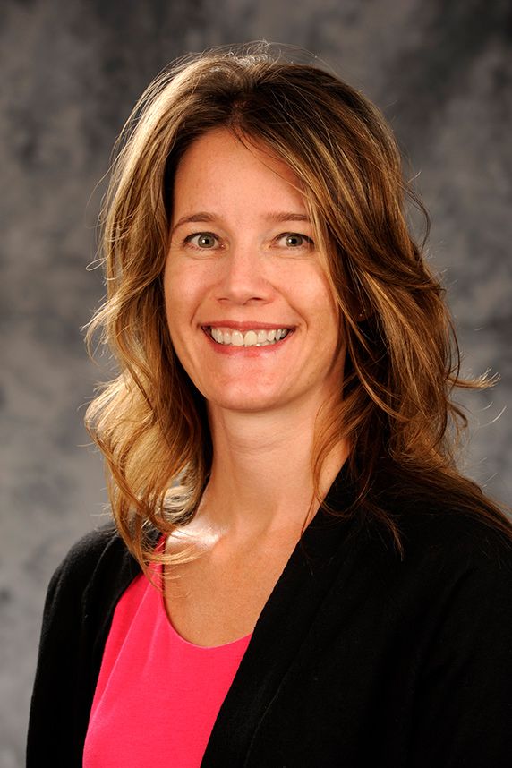
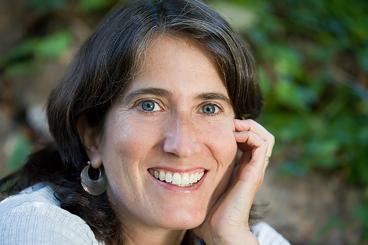 “When the Berkeley Superfund Research Center’s Community Engagement Core got funded, we were able to do more community-driven projects,” said Morello-Frosch. (Photo courtesy of Rachel Morello-Frosch)
Many Californians rely on domestic wells for drinking water. Those unregulated wells can be affected by contamination and drought. The website provides key data related to both issues.
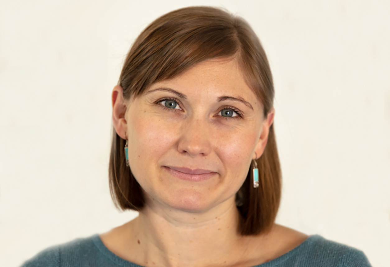 “Reducing exposure to harmful drinking water is a question of environmental justice,” said Pace. (Photo courtesy of Clare Pace)
“The information is now being used to evaluate and refine groundwater sustainability plans,” said SRP postdoctoral researcher Clare Pace, Ph.D. “This will contribute to statewide efforts to fulfill California’s Human Right to Water law.”
(John Yewell is a contract writer for the NIEHS Office of Communications and Public Liaison.)


